Ecohydrological modelling- Linking earthworms and preferential flow
home
aims study
sites current work presentations photo gallery project members cooperation workshop
|
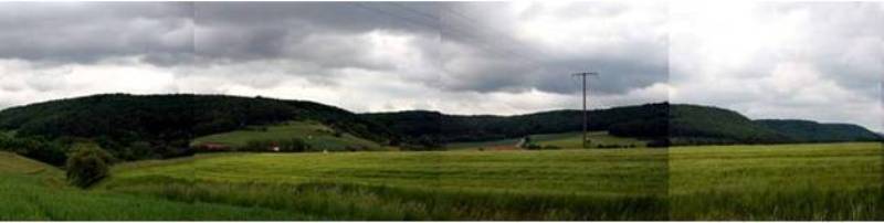
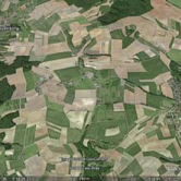
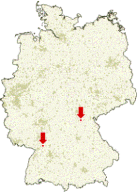
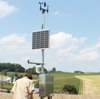
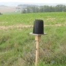
BIOPORE - Study Sites The location of the two catchments used for this research can be seen on the map: the Weiherbach (approx. 3.5 km2, near Karlsruhe) and the Haßberge (approx. 1.5km2, near Würzburg). The sites are both equipped with a meteorology station, a set of five rainfall gauges spread through the area and a discharge gauge. |
|
|
 |
Starting
from the 1990's there have been ongoing hydrological measurement
campaigns in the Weiherbach area,
which is an intensively used agricultural area. Many PhD theses have
been written on the hydrological behaviour of the
catchment. Preferential flow, mainly caused by the earthworm
occurrence, was found to rapidly transport infiltrating water to deeper
layers. The geology is dominated by Keuper and a Loess layer of up to
15 m thickness. The altitude lies between ±160 and ±240m.
The climate is semi-humid with an average annual
precipitation of 750-800 mm/yr, average annual runoff of 150 mm/yr and
annual potential evaporation of 775 mm/yr. The average
annual air temperature is 8.5°C. |
|
|
|
 |
|
|
|
||
|
|
||
 |
 |
 |
 |
 |
 |
||
| schaik (at) uni-potsdam.de |
|
January 2011 | |||||