operational discharge and flooding predictions in head catchments
|
|
OPAQUE - |
Operationelle Abfluss- und Hochwasservorhersage in
Quellgebieten operational discharge and flooding predictions in head catchments |
Figure 1: Interdisciplinary team of scientists of University of Potsdam: Institute for Geoecology and Institute for Geosciences, GFZ Potsdam: Section Remote Sensing and Section Engineering Hydrology, University of Stuttgart, University of Bern and the German Aerospace Centre (flight crew not present).
One of the main goals of OPAQUE is the identification of critical states of catchments such as high soil moisture conditions. Those conditions are important reasons for uncertainties in operational flood forecasting, especially in the early warning stage. Therefore soil moisture and its scale-dependent variability were determined by a combination of innovative field and airborne measuring techniques. The combination of measurement at different scales makes a consistent up scaling from the point scale (TDR, FDR) over field scale to the regional scale of a hydrological catchment (space borne RADAR) possible. In order to test the feasibility of that approach two field campaigns were planed to measure the catchment state of the Weisseritz river at two different states, in early summer and spring. The first campaign was carried out by an interdisciplinary team of scientists (May, 29th to June,1st of 2007).
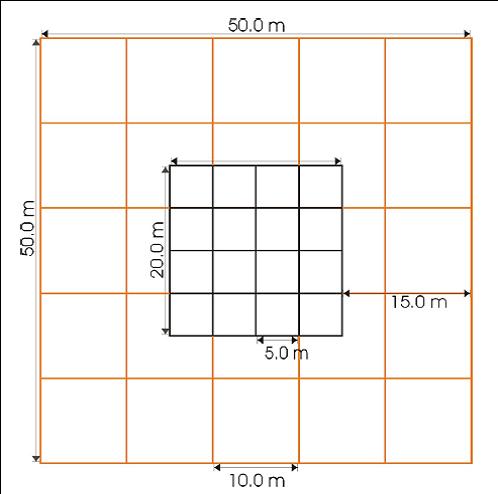
Figure 2: Measurement grid for the high spatial resolution measurement.
Four fields of the size 50 by 50 m² on pasture and ploughed soil were investigated intensively. Measurements with FDR probes were carried out on a soil moisture monitoring grid with 1m spacing (Figure 2) to investigate the upper top soil layer. At the corners of the inner raster soil cores of 1m depth were taken to investigate the vertical soil moisture distribution in 20cm-intervalls.
Two S-TDR clusters continuously recorded the soil moisture down to a depth of 60 cm at two sites in the catchment area with high temporal as well as spatial resolution.
In addition two GPR-teams (University of Potsdam, GFZ Potsdam) investigated the electric permittivity by means of the velocity of the ground wave. A frequency range from 100MHz to 400MHz was used. Common Offset (CO) and Wide Angle Reflection and Refraction (WARR) measurements were performed.
On eight fields with different land use (summer barley, winter barley, winter wheat, winter rape, silage maize, triticale, seed grass and forest) the soil moisture in the upper soil layer was monitored with a coarser spacing (15m).
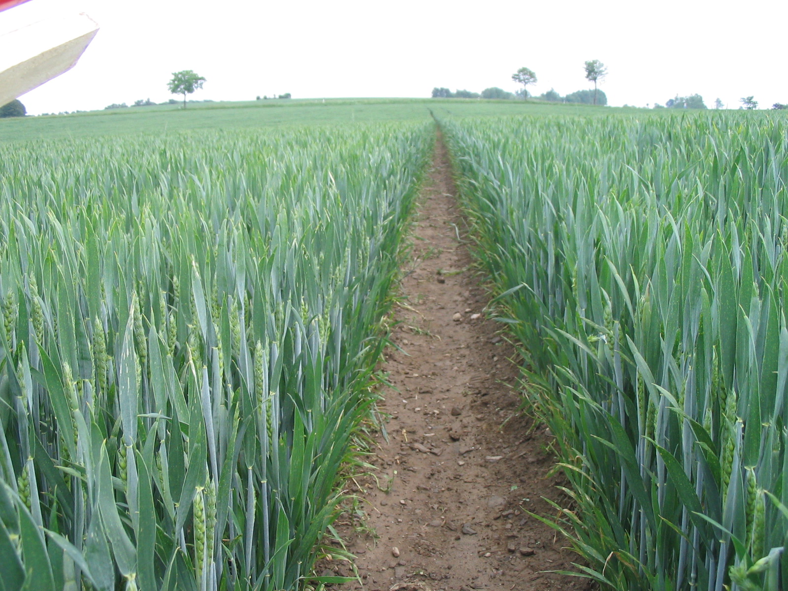
Figure 3: Vegetation measurements
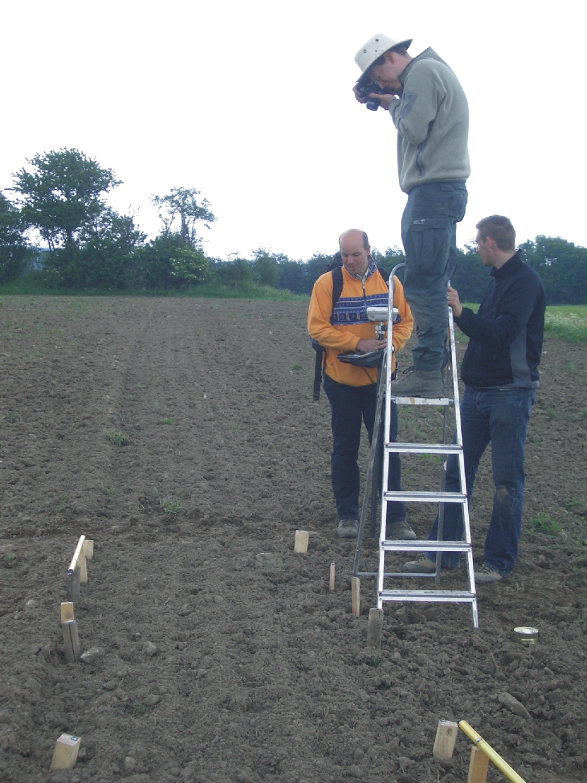
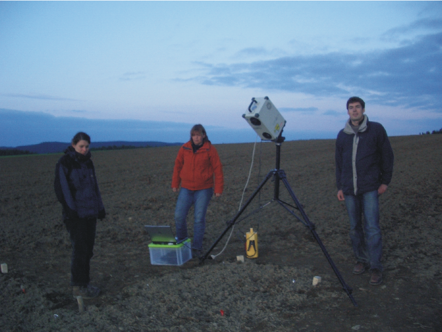
Figure 4: Roughness measurements: Stereoscopic photography and laser scanning.
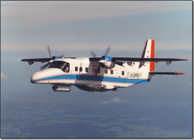
Figure 5: E-SAR system on Dornier 228, Horn (2000).
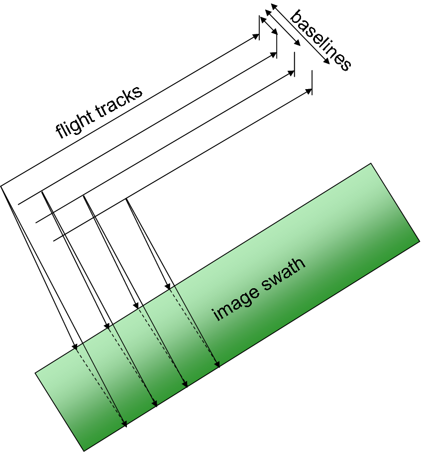
Figure 6: Acquisition geometry for subsequent interferometric analysis

Figure 7: Corner reflector with 1.5m³ size
The weather before and during the campaign was favourable for studying soil moisture. Shortly before the campaign heavy rain moistened the soil in the upper layers. During the campaign no precipitation was recorded and low evapotranspiration could be suspected due to strong cloud cover and moderate temperature levels.
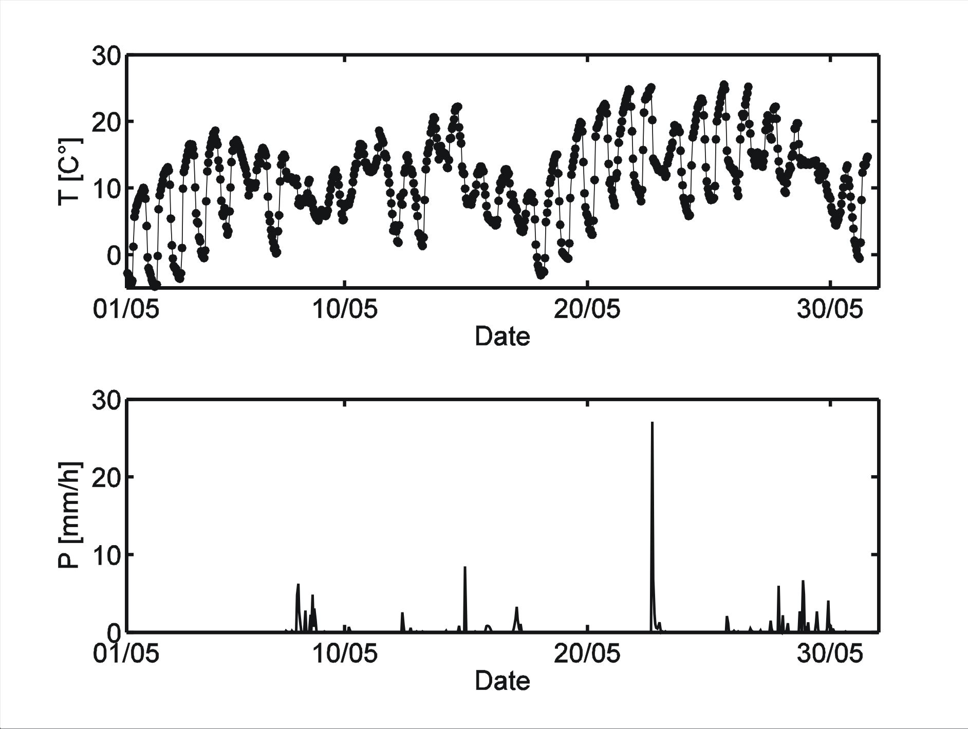
Figure 8: Temperature and precipitation during the period of May at Rehefeld-Zaunhaus
Data of the ENVISAT –ASAR system, acquired on June 4th, makes it possible to analyze the observation of the soil moisture on the catchment level. The sensor operates at C-Band, the data was recorded with an approximate spatial resolution of 100by 100 m².
Last updated Feb 05 2007. Contact Information